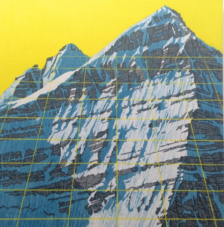
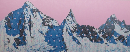
David Pirrie, Mt. Phillips, BC Rockies (2016)
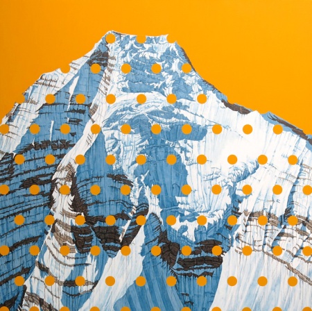
There’s a great deal of pleasure to be found studying maps, replete as they are with seemingly arcane symbols, dots, lines and grids awaiting patient deciphering. Among the fascinations of Vancouver-based artist David Pirrie is the iconography of maps and how they influence our sense of place, which he nicely explores in a wonderful series of paintings recently exhibited at Vancouver’s Ian Tan Gallery.
Pirrie’s paintings of Canada’s western landscape, particularly of mountains in the Alberta and British Columbia Rockies, are overlayed with mapping details and pastel hues that display a slight pop art sensibility that is both intriguing and pleasing. His having climbed many of these mountains adds an element of intimacy to his gorgeous representations of these majestic formations.
More of David Pirrie’s work can be seen at his website here.
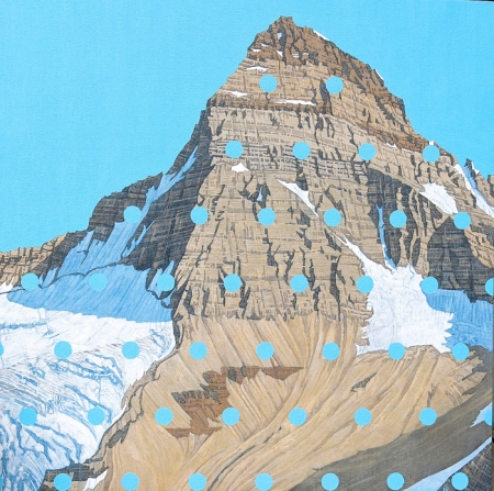
David Pirrie, Mt. Assiniboine, Late Summer(2016)
~
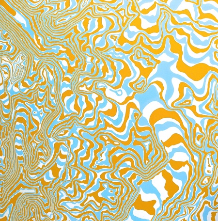
David Pirrie, Columbia Icefield , 1/50,000 (2016)
~
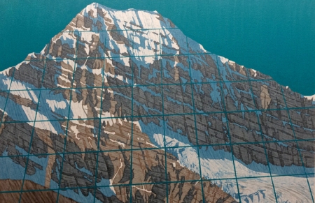
David Pirrie, Mt. Edith Cavell (2016)
~
David Pirrie, Kates Needle, BC Coast (2013)
~
David Pirrie, Mt. Robson Ice Fall (2016)
~
